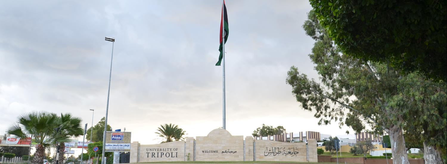
Department of Soil and Sand

More ...

About Department of Soil and Sand

Facts about Department of Soil and Sand

We are proud of what we offer to the world and the community

73

Publications

26

Academic Staff

52

Students

0

Graduates

Who works at the Department of Soil and Sand

Department of Soil and Sand has more than 26 academic staff members

staff photo

Prof.Dr. Ahmed Ibrahim Mohammed Ekhmaj

أحمد إبراهيم خماج هو احد اعضاء هيئة التدريس بقسم التربة والمياه بكلية الزراعة طرابلس. يعمل السيد أحمد إبراهيم خماج بجامعة طرابلس كـأستاذ منذ 06-03-2017 وله العديد من المنشورات العلمية في مجال تخصصه.

Publications

Some of publications in Department of Soil and Sand

Soil Moisture Content in Hill-Filed Side Slope

Abstract—The soil moisture content is an important property of the soil. The results of mean weekly gravimetric soil moisture content, measured for the three soil layers within the A horizon, showed that it was higher for the top 5 cm over the whole period of monitoring (15/7/2004 up to 10/11/05) with the variation becoming greater during winter time. This reflects the pattern of rainfall in Ireland which is spread over the whole year and shows that light rainfall events during summer time were compensated by loss through evapotranspiration, but only in the top 5 cm of soil. This layer had the highest porosity and highest moisture holding capacity due to the high content of organic matter. The gravimetric soil moisture contents of the top 5 cm and the underlying 5-15 and 15-25 cm layers show that bottom site of the Hill Field had higher soil moisture content than the middle and top sites during the whole period of monitoring. Keywords— Soil, Soil moisture, Gravimetric soil moisture content. arabic 7 English 39
ِAbdulfatah Faraj Abdullaha Aboufayed(1-2013)
Publisher's website

دراسة وتقييم جودة مياه الري بمنطقة العزيزية

تضمنت الدراسة الخصائص الكيميائية لمياه الآبار لمنطقة العزيزية ،وذلك من خلال إجراء التحاليل الكيميائية ﻠ16 بئرا ,وأخد عينات للتربة من المزارع التى تروى بها هذه الآبار صيف 2010 وتم إجراء التحاليل الكيميائية والطبيعية لها، وقد شملت التحاليل الكيميائية للأنيونات والكاتيونات وهي الكالسيوم Ca++ ,المغنسيوم ++Mg ,الصوديوم Na+ ,البوتاسيوم +K ,الكربونات CO3-- ،البيكربونات HCO3- , الكبريتات --SO4 ,الكلورايد - Cl ,النترات –NO3 ،البورونB ،لمياه الري ومستخلص التربة 1:1،ومن تحديد قوام التربة الذى كان (قوام طميي رملي ،رملي،رملي طميي) ثم أخذت ثلاث عينات مختلفة القوام على أعماق (0-30 ،30-60 ،60-90 cm ) شتاء 2011 وأجريت عليها التحاليل الكيميائية للأيونات والكاتيونات المدكورة في العجينة المشبعة ،مستخلص 1:1 ،مستخلص 1:5، وتقدير كل من السعة التبادلية الكاتيونية ونسبة المادة العضوية ونسبة كربونات الكالسيوم(CaCO3) وكبريتات الكالسيوم (CaSO4.2H2O)بالتربة، ومن خلال النتائج اتضح بأن الملوحة بمياه الأبارقد تراوحت من((3225 – 1395 mg/L وتبين بأن كربونات الصوديوم المتبقية RSC قيمة سالبة أي لاتتكون في التربة عند الري بمثل هذه المياه،وتم مقارنة النتائج بالمواصفات الأمريكية 1954) (USDA ،ومنظمة الأغدية والزراعة FAO .حيث اتضح عند تقييم الآبار بالتصنيف الأمريكي أن جميع الأبار وقعت ضمن الصنف) 1 C4- S (مياه عالية جدا للملوحة – منخفضة الصوديوم ،وبئرواحدة كانت (C4-S2) مياه عالية جدا للملوحة – متوسطة الصوديوم، أما حسب تصنيف منظمة الأغدية والزراعة FAO دليل سنة ((1976 والمطورسنة ( 1985 ) فقد تم تقييم أربعة مشاكل قد تنتج عن مياه الري وهي :الملوحة,الرشح, السمية,تأثيرات متنوعة ،ويتوقع بالنسبة لمشكلة الملوحة وقوع (15)بئرا في المدى الاعتيادي لمياه الري وبئر واحد أكبر من المدى الاعتيادي لمياه الريFAO( 1985)، أما بالنسبة لمشكلة الرشح فلا يتوقع حدوث مشكلة عند أستخدام مياه الأبار FAO(1976)، وعند تقييم مشكلة مؤشر السمية اتضح بالنسبة للصوديوم فى حالة الري السطحي بأن مياه ((5أبار لايتوقع حدوث مشكلة بينما يتوقع حدوث مشكلة خفيفة الى متوسطة (11)بئر,أمافى حالة الري بالرش فإنه يتوقع حدوث مشكلة خفيفة إلى متوسطة لجميع الأبار ,أما بالنسبة للكلور وفي حالة الري السطحي فيتوقع حدوث مشكلة خفيفة إلى متوسطة (7) أبار وحدوث مشكلة حادة 9) (أبار ,وفي حالة الري بالرش فيتوقع حدوث مشكلة خفيفة إلى متوسطة لجميع الأبار FAO(1976),أما النترات والمغنسيوم فتبين بأن تركيزهما في مياه جميع الأبارأكبر من المدى الاعتيادي لمياه الري،وكان تركيز كل من البيكربونات والكالسيوم في مياه الآبار في المدى الأعتيادي لمياه الري، أما بالنسبة لتركيز الكبريتات في مياه الآبار كانت(15 ) بئراوقعت في المدى الاعتيادي لمياه الري وبئر واحد أكبر من المدى الاعتيادي لمياه الري، أما بالنسبة ﻠ PH فإن جميع مياه الأبار وقعت في المدى الاعتيادي لمياه الريFAO( 1985). ومن خلال نتائج تحاليل التربة للعينات التي جمعت في فصل الصيف لعمق ( cm30-0) اتضح بأن EC بمستخلص التربة 1:1تراوحت 2.3 – 0.31 dS/m) ), وعند إجراء التحاليل الطبيعية للتربة تبين بأن قوام التربة للعينات في منطقة الدراسة كانت (قوام رملي مزرعة واحدة ,رملي طميي (4)مزارع,طميي رملي11) ( مزرعة (،ومن نتائج التحاليل للعينات التي جمعت أثناء موسم هطول الأمطار لعمق (0-30،30-60،60-90 (cm تراوحت ECe (0.38 – 2.15dS/m) ،EC1:1 ( 0.7 - 0.19 dS/m) ،0.07dS/m) EC1:5 -0.3 (،وبحساب متوسط ESP المقاسة بواسطة السعة التبادلية الكاتيونية كانت فى العجينة المشبعة (%45.7-9.0) ،ومستخلص 1:1 (%42.6 - 8.8) ،ومستخلص 1:5 ( %42.2 - 8.3)،وتم تقدير نسبة كربونات الكالسيوم بالتربة للعينات حيث كانت (%4.5 – 0.8) ،وتراوحت نسبة المادة العضوية بالتربة (%0.319 –0.67) ،وكانت السعة التبادلية الكاتيونية لعينات التربة (2.4 –3.4 meq/100g soil ) ،وبتقدير كبريتات الكالسيوم(CaSO4 .2H2O) بالتربة تبين عدم وجودها فى عينات التربة . Abstract The study includes the chemical properties of irrigation water for the Azizia area. Chemical analysis is conducted for 16 wells. Soil samples brought from the farms irrigated by these wells in the summer of 2010, are tested for chemical and physical analysis.This includes study of chemical ions (cations+anions). Calcium, sodium, bicarbonate and sulfate, chloride, nitrate and boron, of irrigation water and soil extract 1:1, of different soil texture (loamy sand, sandy loam, sandy). Three soil samples of different textures at depths (0-30,30-60, 60 - 90 cm) are collected in the winter of 2011.tests are carried out for chemical analysis of anions, in the saturated paste ,and extract 1:1, extract 1:5, and appreciation the cation exchange capacity. The percentage of organic matter and the percentage of calcium carbonate and calcium sulfate in the soil are also determined. The results Show that the salinity in water wells ranges from (1395-3225 mg / L). It is found that sodium carbonate remaining (RSC) is negative in value. Results are compared with the American specifications (USDA1954) and the food agriculture Organization (FAO) guid lines. It is clear that when evaluating wells by (USDA) classification all wells occur with in the class ( C4-S1) water is very high salinity It is low in sodium, and in one well (C4-S1) This water is of very high in salinity. It is medium in sodium, but when evaluated by the (FAO) Guide lines ( 1976 ,1985). It is e valuated that four problems may result from the irrigation water: salinity infiltration, specific ion toxicity, miscellaneous effects. It is expected for the problem of salinity( 15) wells in the usual range of irrigation water. Result is more than the irrigation water. It is in the range. When assessing the problem of index of toxicity,it turns out for the sodium in the case of surface irrigation (5 )wells with out a problem. While in ( 11) wells it is slight to moderate problem . Either in the case of sprinkler irrigation it is expected to be slight to moderate problem to all wells. For chlorine in the case of surface irrigation it is expected ( 7) wells slight to moderate problem. ( 9) wells show severe problem. in the case of sprinkler irrigation it is expected of all wells slight to moderate problem.W hile in the nitrate and magnesium, it is clear that their focus for all wells is more than the usual range in irrigation water.The concentration of bicarbonate and calcium in the usual range for irrigation water. The concentration of sulfate ,in (15) wells occur in the usual range for irrigation water. It is more than that of the usual range for irrigation water. For PH all the wells occur in the usual range for irrigation water (FAO 1985). Through the analysis results for soil samples collected in the summer to a depth (0-30cm), for EC it is clear that in the 1:1 soil extract, ranges from (2.3-0.31dS/m). The soil texture in (1 farm is sandy, 4 farms are sandy loam, 11 farms are loamy sand). The results of analysis of samples collected in the rainy season, to a depth (0-30,30-60,60,90 cm) ,show that ECe ranges (0.38-0.07dS/m),and EC1:1(0.7-0.19dS/m), and EC1:5(0.3-0.07dS/m) . Average ESP is measured by cation exchange capacity. It is in the saturated paste (9.0-45.7%).In cases of 1:1 soil extract (8.8-42.6%), and soil extract 1:5(8.3-42.2%). Show similar results the percentage of calcium carbonate (0.8-4.5%) and the percentage of organic matter in soil (0.67-0319%), and the cation exchange capacity of the soil samples (2.4-3.4meq/100g soil), shows the absence of calcium sulphate in the soil.
أسامة أبوخظير علي (2012)
Publisher's website

Predicting the classes and distribution of salt-affected soils in Northwest Libya

Sodicity and salinity can adversely affect soil structure and are common constraints to plant growth in arid regions. Current remote sensing techniques cannot distinguish between the various classes of salt-affected soils. Field and laboratory measurements of salt-affected soils are time-consuming and expensive. Mapping of the salt-affected soils can be used in soil conservation planning to identify regions with different degrees of limitations. There is a need to use existing field and laboratory measurements to create maps of classes of salt-affected soils. The objectives of this study are to classify salt-affected soils, use existing field data to interpolate and validate geospatial predictions of the classes of salt-affected soils using Geographic Information Systems (GIS), and create maps showing the different classes and distribution of salt-affected soils. The classification framework for salt-affected soils is based on electrical conductivity (ECe), soil pH and the sodium adsorption ratio (SAR), and provides four degrees of limitations to salt-affected soils: slight (normal soils), moderate (saline soils), severe (sodic soils), and extreme (saline-sodic soils). Spatial interpolation of the field data from northwestern Libya was verified by cross-validation, and maps of the salt-affected soils in the region were created. The majority of soils in this region of Libya are normal (slight degree of limitation). Twenty percent of the topsoil is saline-sodic (extreme degree of limitation). Land use recommendations and rehabilitation strategies can be developed from such maps of salt-affected soil classes. The methodology followed in this study can be applied to other arid regions around the world, particularly in developing countries where budgetary constraints limit detailed field and laboratory measurements of sodicity and salinity. arabic 11 English 70
Hamdi Zurqani, Elena Mikhailova, Christopher Post, Mark Schlautman, Julia Sharp(2-2018)
Publisher's website