كلية الهندسة

المزيد ...

حول كلية الهندسة

أنشئت كلية الهندسة جامعة طرابلس سنة 1961م باسم كلية الدراسات الفنية العليا وذلك ضمن برنامج التعاون العلمي والتقني مع منظمة الأمم المتحدة للتربية والعلوم والثقافة اليونسكو، وكانت بذلك أول كلية هندسية بليبيا، وفي سنة 1967م، انضمت إلى الجامعة الليبية آنذاك تحت اسم كلية الهندسة، وفي سنة 1972م تم تأسيس كلية هندسة النفط التي كونت مع كلية الهندسة وكلية العلوم جامعة طرابلس سنة 1973م، وقد أضيفت سنة 1978م كلية الهندسة النووية والإلكترونية، وفي سنة 1985م تم دمج كلية هندسة النفط مع كلية الهندسة في إطار ربط الكليات والمعاهد العليا بالمراكز البحثية الهندسية، وقد تم دمج الهندسة النووية والإلكترونية مع كلية الهندسة سنة 1988م.

وبقدر ما تمتاز به كلية الهندسة من دور ريادي خلال مسيرتها العلمية هذه فأن دورها يزداد أهمية وذلك تمشياً مع التطور التقني وخاصة في مجالات هندسة الاتصالات والمعلوماتية والمواد الجديدة وتطبيقاتها والطاقة الدائمة والمتجددة والأساليب الحديثة في الإنشاء والعمارة ومالها من تأثيرات بيئية، واستجابة لهذا التطور فأن كلية الهندسة عمدت إلى تغيرات في مناهجها  التعليمية والهيكلية الأكاديمية بأن تطورت من كلية بأربعة أقسام منذ نشأتها حتى أصبحت تجمع عدد ثلاثة عشر قسماً وذلك تلبية لرغبات ومتطلبات المجتمع الليبي ومحققة لأهدافه وتطلعاته في التقدم، وتوافقاً لذلك فأن نظام الدراسة في الكلية تطور من نظام السنة الدراسية إلى نظام الفصل بمقررات فصلية.

إن التوسع في المجالات الأكاديمية بالكلية يحتاج ولا شك توسعات في المنشآت التي تستوعب الأعداد المتزايدة للطلاب التي وصلت إلى اثني عشر ألفا في السنوات الأخيرة. وهذا التوسع سيشمل إن شاء الله تعالى القاعات والمعامل وغيرها من الإمكانيات والتجهيزات المتطورة من أجهزة حاسوب وأجهزة قياس بحثية.

تتكون الكلية من أقسام: (قسم الهندسة المدنية- قسم الهندسة الميكانيكية والصناعية- قسم الهندسة الكهربائية والإلكترونية- قسم هندسة الحاسب- قسم هندسة العمارة والتخطيط ٌ العمراني- قسم هندسة النفط- قسم الهندسة الكيميائية- قسم الهندسة الجيولوجية- قسم هندسة التعدين- قسم هندسة الطيران- قسم الهندسة البحرية وعمارة السفن- قسم الهندسة النوويةٌ- قسم هندسة المواد والمعادن- قسم الإدارة الهندسية "دراسات عليا فقط").

وتمارس هذه الأقسام مهامها العلمية التخصصية وفق القوانين واللوائح والقرارات ذات العلاقة والتي تشمل في مجملها:

  • الإشراف الأكاديمي على الطلاب المتمثل في التسجيل والتدريس والتقييم.
  • متابعة برامج البحوث والتأليف والترجمة.
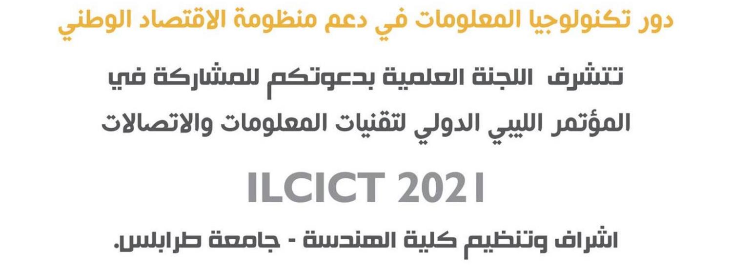
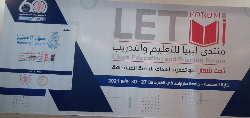
  • القيام بإعداد وعقد المؤتمرات والندوات العلمية المتخصصة.
  • إعداد ومراجعة المناهج الدراسية لمواكبة التقدم العلمي واحتياجات المجتمع.
  • تقديم المشورة العلمية التخصصية للمؤسسات الإنتاجية والخدمية بالمجتمع.
  • القيام بالدراسات العلمية والعملية في مجال البحث لحل مشاكل المجتمع ذات العلاقة.
  • المساهمة في وضع الخطط والمقترحات لتسيير العملية التعليمية بالكلية والأقسام.

حقائق حول كلية الهندسة

نفتخر بما نقدمه للمجتمع والعالم

278

المنشورات العلمية

326

هيئة التدريس

9723

الطلبة

558

الخريجون

البرامج الدراسية

ماجستير هندسة الطيران
تخصص هندسة الطيران

...

التفاصيل
بكاليوريوس هندسة الطيران
تخصص هندسة الطيران

...

التفاصيل
البكالوريوس في الهندسة
تخصص هندسة النفط

.......

التفاصيل

من يعمل بـكلية الهندسة

يوجد بـكلية الهندسة أكثر من 326 عضو هيئة تدريس

staff photo

د. عزالدين محمد صالح كنشيل

عزالدين كنشيل هو احد اعضاء هيئة التدريس بقسم الهندسة الميكانيكية والصناعية بكلية الهندسة. يعمل السيد عزالدين كنشيل بجامعة طرابلس كـأستاذ مشارك منذ 2016-05-01 وله العديد من المنشورات العلمية في مجال تخصصه

منشورات مختارة

بعض المنشورات التي تم نشرها في كلية الهندسة

Petrophysical Study of the Nubian Sandstones in Concession 59D, E. Sirt Basin, Libya

Abstract The Nubian Sandstone Formation is a significant hydrocarbon reservoir in the Concession 59D, Eastern Sirt Basin, Libya. This formation is underlain uncomfortably by granitic basement and/or by the Hercynian unconformity and overlain uncomfortably by Pre-Upper Cretaceous followed by an Early Upper Cretaceous Transition beds. The Nubian formation is a thick sequence comprises mainly of sandstone, siltstone and shale.The Nubian Formation in this area has been subdivided into three stratigraphic members; namely Lower Sandstone, Middle Shale and Upper Sandstone (main reservoir well be focus of this study).The Upper Sandstone is the upper most subdivision of the Nubian Sandstone sequence consists mainly of white, grey to brown sandstones, ranging from fine to medium, locally coarse grained, moderately cemented with straight to concavo convex or slightly sutured grain contacts. This reservoir is a complex of fluvial sands deposited in Braided and Meandering streams.The reservoir fluids are very rich retrograde condensate gas and waxy oil with pressure at slightly above the saturation pressure. Most of this hydrocarbon in this reservoir has been sourced from the Nubian Middle Shale Member, but the Upper Cretaceous shale and Evaporates belonging to the Transition beds sequence have a significant potential source. The trapping mechanism in the field is a combined structural and stratigraphic trap for the Nubian Sandstone with the southern closure against the tight Nubian facies and basement of the Gialo High. Reservoir properties across the North Gialo Study Area vary in terms of porosity, permeability fluid saturation. These variations are indicated through the porosity, permeability and saturation maps and charts based on well log analysis and lab core sample measurements. These properties are discussed in the reservoir characterization part of this thesis.
عواطف عبد الله بودربالة (2012)
Publisher's website

دراسة ظاهرة زحف الكثبان الرملية على الطرق الصحراوية واقتراح الحلول العلاجية

تعتبر ظاهرة تحرك الكثبان الرملية و وزحفها على الطرق الرئيسية من الظواهر الخطيرة التي تتسبب في حوادث قاتلة وعرقلة لحركة المرور، إضافة إلى الخسائر الاقتصادية الكبيرة . ومن الطرق التي تعاني مثل هذه المشاكل الطريق الرابط بين نالوت و غدامس والطريق الرابط بين الوطية و الجوش والطريق الرابط بين العزيزية و غريان وكذلك طرق الجنوب مثل طريق سبها براك وطريق سبها أوباري ... الخ ، لهذا كان من الضروري القيام بعمل دراسة ميدانية ( حقلية ) للأماكن المتضررة من الطرق وإجراء الاختبارات المعملية اللازمة واقتراح الحلول المناسبة لمعالجة هذه الظاهرة يأتي هذا البحث لدراسة ظاهرة زحف الكثبان الرملية على الطرق المتضررة من هذه الظاهرة والتي تقع في شمال وجنوب غرب ليبيا وهي طريق نالوت غدامس وطريق الجوش الوطية وطريق العزيزية غريان وطريق براك سبها ، حيث تم تحديد القطاعات المتضررة في الطرق سالفة الذكر وإجراء عملية الرفع المساحي لتلك القطاعات للتعرف على وضعية الرمال وحجمها ، حيث تم رسم قطاعات عرضية وطولية لكل القطاعات المتضررة . وكذلك إجراء اختبارات معملية للتربة المكونة لتلك الكثبان والمتمثلة في تحليل الحجم الحبيبي واختبار بركتور المعدل لمعرفة خواص التربة وتصنيفها وذلك حسب نظام تصنيف التربة الموحد ، وتحديد أقصى كثافة جافة ونسبة المياه المناظرة لها ، ونسبة الرطوبة ، كما تم دراسة تضاريس كل منطقة يقع فيها القطاع المتضرر والتعرف على مصادر المياه بها ،والظروف المناخية مثل اتجاهات الرياح السائدة وسرعتها وباستخدام النتائج المتحصل عليها والدراسات السابقة التي قامت بها العديد من الدول التي تتأثر بهذه الظاهرة والتي استعرضنا منها في هذا البحث دراسة كل من الولايات المتحدة الأمريكية والكويت والجزائر ومصر ، تم اقتراح ثلاثة حلول لعلاج هذه الظاهرة وهي مقطع الديناميكا الهوائية والذي تم تجربته في دولة الكويت ، والحل الاستثماري وهو اقتراح قام به الباحث بالرجوع إلى حجم المرور اليومي على القطاعات المتضررة ، و الاقتراح الثالث يتمثل في التثبيت البيولوجي مع مصدات الرياح لتثبيت التربة . وقد تم تحديد أفضل الحلول العلاجية لكل قطاع . Abstract The main aim of this study is to analyze and evaluate the movement and creeping of the sand dune on the main roads considered as dangerous phenomena which caused accidents and resulted in hindering traffic movement. It also caused great economical losses. The roads which suffer from this problem are Nalut - Gadams road, Al Gush – Al Wtyah road and Azizia - Garyian road. Similarly in the south of the Libya there are many roads which suffer from the movement and creeping of the sand dunes, such as Sebha - Brak road, Sebha - Obary road ....ECT. To study this problem it is very important to do a field study about roads that suffer from this problem and need laboratory tests in order to suggest suitable solutions for the treatment of this phenomenon.This study, as indicated above, analyzed and evaluated the movement and creeping of the sand dunes phenomenon in the damged roads located in North and South West of the country. These roads include Nalut-Gadams road, Al Gush-Al watyah road, Sebha-Brak road and Azizia-Gryan road.After identifying the critical section in the above mentioned roads, the researcher carried out a surveying work for sections to identify the sand passivism in relation to the damaged sections and its volume. In this regard, cross sections and longitudinal sections were drawn. Also laboratory sand tests were conducted .These tests include: Sieve Analysis Test. Modified Proctor Test.for identifying sand classifications and characteristics according to its unified system, identifying water dry density and percentage of the parallel water, percentage the humidity. In addition, a study was carried out on the topographic relief of each critical sections to identify the water sources and climatic conditions such as the speed and directions of the dominated winds.The application of the main findings of this study, and other previous studies done by some other countries influenced by this phenomenon, such as United States of America, Kuwait, Algeria and Egypt conclude to three solutions for treating this phenomenon. These solution include: 1- Aerodynamic Profile section which tested in Kuwait. 2- Investment solution which depend on the daily traffic size on the hurt sections. 3- Biological fixing with wind obstructs for fixing the sand. Finally, the best solution for each section was determined.
أبوبكر موسى محمد (2009)
Publisher's website

Obtaining a Rectified Photomap of Aerial Photography through the Digital Photogrammetry

Abstract The digital photomaps which are produced from digital aerial photos have been presented in some detail in research work. This thesis focuses mainly on producing a rectified photomap and accuracy assessment of ground check point’s coordinates that are distributed in the chosen study area within a local region which has been used to develop a digital photomap for the urbanized Proposed study area that is located at a part of Tripoli City (anofleen region).Consequently, such as urbanized area the effect of tilt and relief displacement must be considered in the rectification mathematical model. Due to the rapid development in extending an urbanized areas which forms the major problem in developing countries where a lack of up-to-date digital large scale photomap which can be obtained with save money and effort to produce useful information for purpose urban planning . The Digital airborne imaging systems integrated with in-flight control systems consisting of Global positioning system (GPS) and inertial measurement units (IMU) that are used to provide the data needed to assist a rectification mathematical model to obtain a rectified digital photomap. Consequently, the thesis investigates the potential of using integrated sensors with a number of ground control points to produce a rectified photomap for study area which contains thirteen Digital images acquired from airborne digital camera at flight height 1100m which is main point for the contribution in the study (combination photogrammetric solution); consequently, the procedure is dependent on a comparison between result of photogrammetric solutions, which are obtained through direct and indirect approaches against a combined photogrammetric solution. To achieve and obtain usefulness information, twenty sharped and well distributed check points are chosen on the study area that are used to know the quality of the RMSE in planimetry and elevation at check points according to the adopted Map Standards Accuracy that are worked in surveying department of Libya (SDL), Some good results have been achieved in the study. Since by analyzing the result, which is found that the combination photogrammetric solution that have been given best result with respect to the geospatial accuracy, and which was chosen to produce a rectified photomap of digital aerial images for study area that are found the produced rectified photomap satisfied the theoretical large scale mapping of 1:1,000 according to the followed Map Standards Accuracy (SDL).
عبدالمنعم اعبيد (2013)
Publisher's website

المجلات العلمية

بعض المجلات العلمية التي تصدر عن كلية الهندسة